

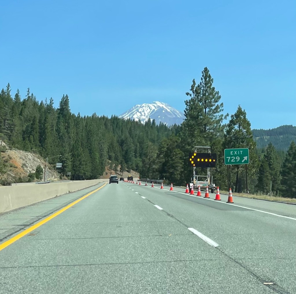
On Monday, July 11, we departed Redding and headed north on Interstate 5. We enjoyed the variety of scenery, especially when we started seeing glimpses of Mount Shasta with a little snow still at the peak.
After leaving I-5 and taking US 97 we came to a scenic turnoff where we got a full view of the volcanic peak. The signage reported the elevation at the peak — 12,330 feet. It last erupted about 9,400 years ago, 300 years after the first eruption.

We checked into our timeshare in the early afternoon, when we learned that our 4th floor suite has a wonderful view of the golf course on the grounds.

Near the grounds of the WorldMark Running Y was a trail called, “Skillet Handle Trail.” We end today’s recap with two pictures — one at the trailhead and one looking toward Klamath Lake.


And then, the encore from our balcony!!

